About 4,696 km long Brahmaputra river originates from the Mansarovar Lake in the Mount Kailash and traverses three countries before emptying into the Bay of Bengal. The world’s 15th longest river is known by different names as it flows throw different regions. Tibet’s ‘Yarlung Zangbo’ becomes ‘Siang’ in Arunachal Pradesh and ‘Luit, Dilao’ in Assam before transforming into ‘Jamuna’ in Bangladesh and merging with ‘Padma’ (called Ganga in India) to finally turn into ‘Meghna’. Despite its separate local names in Arunachal Pradesh and Assam, in India, the river is called the Brahmaputra. Now, China’s decision to build a mega dam on the Brahmaputra has set alarm bells ringing in India. Because the proposed construction site could be just 30 km away from the Indian State of Arunachal Pradesh.
But it’s not just the proximity of the newly planned dam that has raised eyebrows in India. Though lower riparian states like India and Bangladesh have always been concerned about the construction of dams in the lower reaches of the Yarlung Zangbo River. The Indian government has frequently communicated its views to the Chinese authorities to ensure that the interests of downstream states are not harmed by any diversion or storage of water.
And months ahead of the Chinese parliament’s go-ahead signal to the multi-billion project, China tried to address the concerns saying there was no need for any anxiety on this matter. Last December Chinese foreign ministry spokesperson Hua Chunying told a media briefing in Beijing that the “hydropower development in the lower reaches of Yarlung Zangbo River is China’s legitimate right. When it comes to the use and development of cross border rivers, China always acts responsibly.”
She also reminded media persons of the existing mechanism between the three countries to discuss the issues related to the Brahmaputra. Hua Chunying said, “Actually, for a long time the three countries, China, India and Bangladesh have been in close communication on sharing hydrological information, flood prevention and disaster reduction and contingency management.”
Notably, India and China established an Expert Level Mechanism (ELM) in 2006 to address matters related to trans-border rivers. Under the bilateral MoUs (Memorandum of Understanding), every year China shares with India the hydrological information of the Brahmaputra and Sutlej rivers during the flood seasons between May 15 and October 15.
China’s ‘hydro-hegemony’ a big concern for India?
What is worrying for India is China’s “hydro-hegemony” as the country is notorious for playing with the flow of rivers exploiting hydraulic engineering. The founder of the People’s Republic of China Mao Zedong considered “nature as an enemy to be beaten” and never shied away from drawing up policies to harness rivers and nature. He started off massive Chinese investments in mega-dams, hydropower plants and water diversion projects and his legacy continued forever.
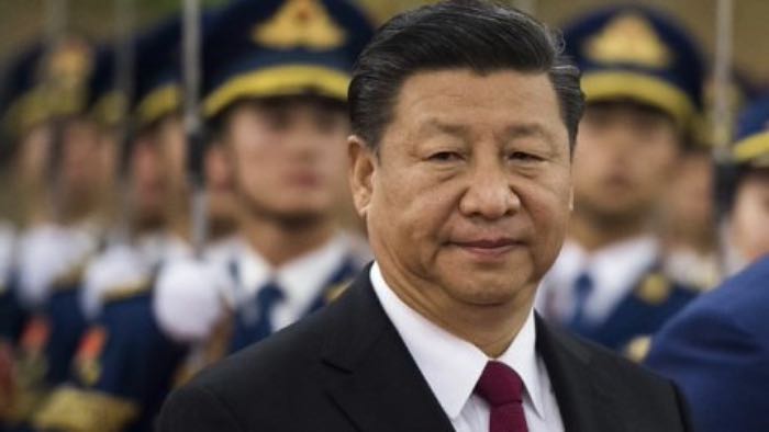
Now China’s over 2,000-member strong National People’s Congress (NPC) has adopted the 14th five-year plan for economic and social development aimed at achieving the long-range objectives by 2035. On the last day of its six-day session (11 March 2021), the NPC, in the presence of Chinese President Xi Jinping, cleared a development blueprint containing 60 proposals for accelerating China’s growth. It included the contentious hydropower project on the Brahmaputra river.
Even though the exact location of the proposed hydropower plant is not clear, the Great Bend of Yarlung Zangbo Grand Canyon in Tibet’s Medog county could be a potential spot for the project. The Brahmaputra river here falls sharply from 3,500 meters on the Tibetan Plateau and makes a huge ‘U’ turn into Arunachal Pradesh.
Threat of natural disaster in unstable seismic zone
While China has brushed aside the concerns of its neighbours assuring them to keep their interests in mind, the anxieties of India and Bangladesh are not misplaced that China can use the newly planned hydropower plant as a strategic asset holding back a major amount of water. According to this report, analysts have pointed out that the storage of water at 11 existing dams is sufficient enough to deny much-needed water to Bangladesh and India during a drought.
The threat of earthquakes is another big concern for India as the Great Bend is located at the meeting point of the Himalayas and two other mountain ranges, the region is considered one of the most unstable seismic zones in the world and has witnessed five of the most severe earthquakes in over the last hundred years.
Those who remember the massive devastations caused by the April 2015 earthquake of Nepal, which took away over 8000 lives, can imagine the risk to the millions of lives in the lower riparian states with tens of billion cubic metres of stored water looming ominously over their heads in an unpredictable seismic zone.


Will Amarinder Singh prove BSY for BJP in Punjab?
Afghanistan crisis: Subjugation of a nation and the Taliban rule
Two-child policy: BJP’s masterstroke before elections in UP?